AERIAL SURVEY
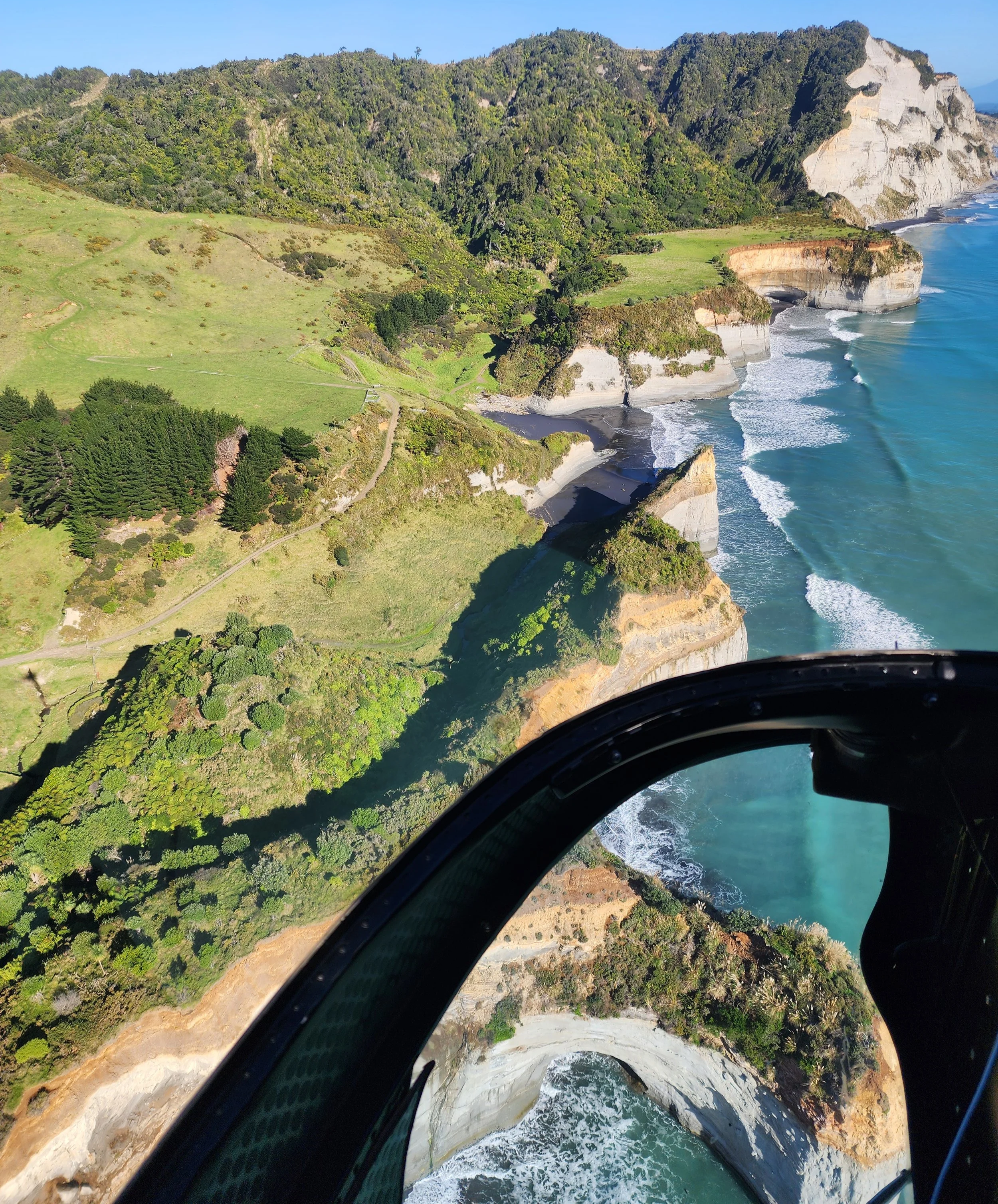
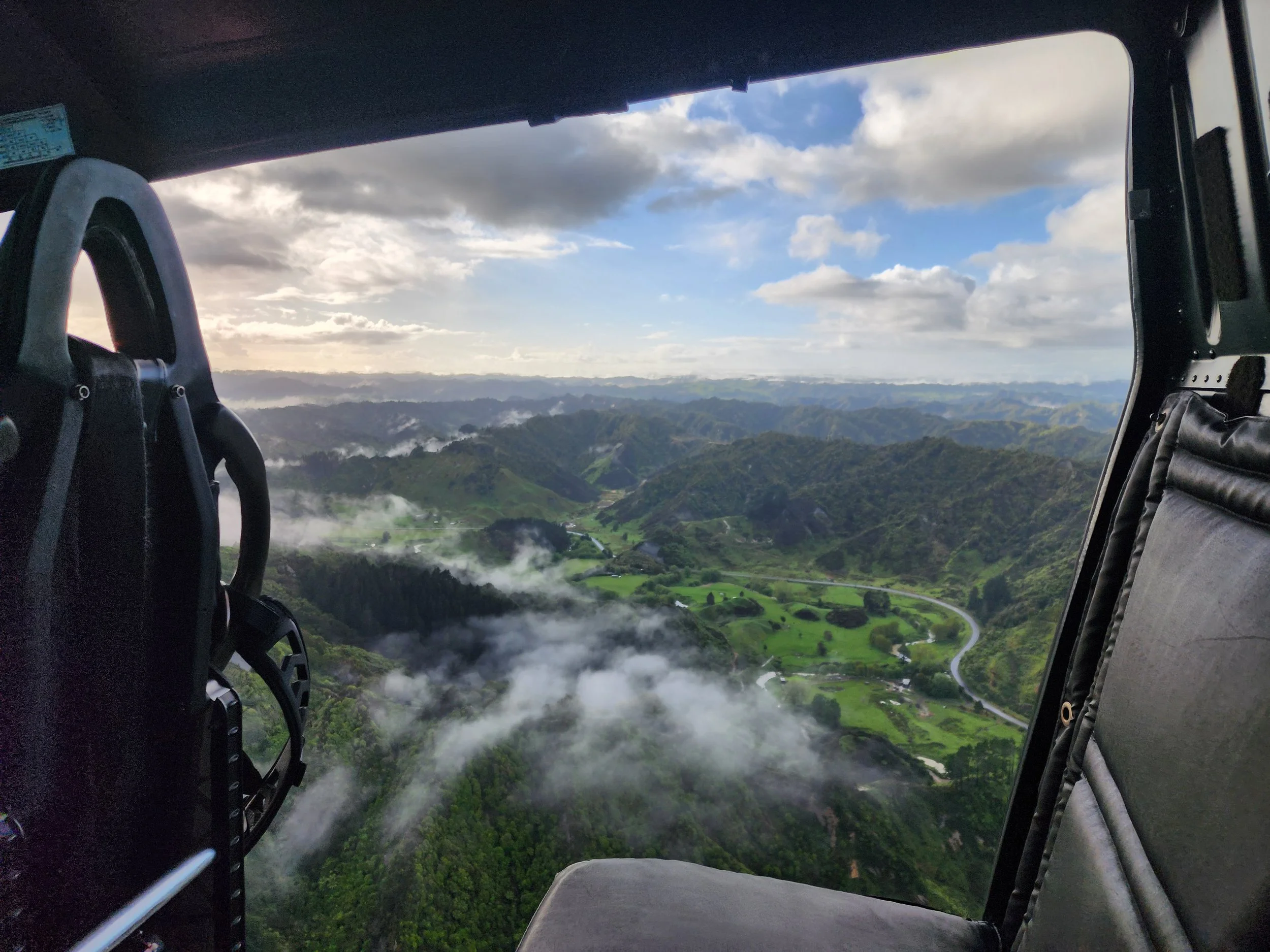
Skywork Helicopters possess high-precision aerial survey capabilities that provide critical insight for infrastructure, conservation, land or marine assessments, and emergency response throughout New Zealand. Whether you need high or low-level aerial surveillance for powerline inspections, property assessments, or environmental monitoring, our helicopter fleet offers the perfect combination of mobility, stability, and accuracy to capture the detailed information you require.
Our specialist survey capabilities include (but are not limited to)
Powerline Inspections
Vegetation Survey
Environmental Monitoring
Forestry Health Survey
Pest Surveillance
Land Assessment
Property Evaluation
Road Transport Assessment
Marine Survey (Including Oil Pollution Response)
Coastal Erosion Survey
Slip Patrol Survey
Avalanche Assessment
Natural Disaster Response
Search & Rescue
Infrared Thermal Imaging
Night Vision Imaging
What makes Skywork Helicopters
stand out above the rest in Aerial Surveying?
We combine experienced pilots with advanced technology to deliver accurate, tangible information when you need it most. Our helicopters offer distinct advantages for aerial surveying that other methods cannot match.
Assurance your data is reliable
Skywork is the only company throughout the southern hemisphere with Differential-GPS (DGPS) installed in our helicopters. DGPS is an enhanced GPS system that works by utilising both ground based stations and satellite signals to significantly improve real time location accuracy. Therefore, you can rest assured knowing that the data we record during your survey reflects precise positioning.
We offer digital map and coordinate input/output, GPS way-point marking, real time data transmission, access to live tracking, ‘doors-off’ configuration (for improved visibility), fitting of specialist equipment, technical planning, and comprehensive data documentation/delivery.
Skywork also equip the FastFin Tail Rotor Enhancement and Stability System. FastFin uses advanced airflow management to increase effectiveness of the anti-torque system substantially benefitting hover-hold, stability, and maneuverability. Not only does this enhance safety but it also supports clear data capture.
Experience and readiness to meet your needs
Our pilots bring a high level of expertise to every aerial survey project through decades of experience in precision flying and specialised training in survey flight patterns. This results in each project benefitting from:
An in-depth knowledge of New Zealand terrain
An understanding of industry-specific requirements
Ability to precision hover over specific points of interest (visually or via GPS coordinates)
Ability to maintain consistent altitude for uniform data collection
Ability to operate at various speeds from stationary to rapid
Ability to adjust the helicopter position at short notice to capture optimal angles.